by David Dickson
 Smartphones are the swiss army knife of the digital world. They have replaced countless single-function gadgets from calculators to cameras to pagers to, um, phones! But for mapping geeks, one of the gadgets they have not quite been able to shake is the handheld GPS unit—at least until now.
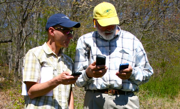
The Geospatial Training Program (GTP) at UConn CLEAR, in collaboration with the Connecticut Land Conservation Council, recently developed a GPS training for land trust volunteers. The one-day training teaches participants to collect data (waypoints, notes, tracks) in the field using a GPS unit, download that to a computer, and then create an online map using the collected data that they can share with the public. However, there might be a new way to collect GPS data that doesn’t require a handheld unit costing hundreds of dollars.
According to the Pew Research Center, a majority of American adults (56%) now own a smartphone; this is an increase of 20% in just the last two years. Most smart phones today are built to include a decent GPS chip that is useful for finding the nearest Starbucks, letting the word know where you are, and tracking your run, ride, or hike. Why not geo-referenced data collection, too?
For years, we have been scouring the app stores for the perfect navigation app that does everything a handheld GPS unit can, and maybe more. Our requirements were that it is easy to use; collects tracks, waypoints, notes, and photos; exports data in a wide variety of geospatial formats; requires minimal processing to create an online map; works on iPhone and Android; and is CHEAP! After many downloads and numerous fits and starts, we believe we are close. As a result, GTP is solidifying plans to develop and teach a “Smartphone GPS” course some time in 2014 (funding permitting). Set a reminder on your phone to remind you to look up the GTP course offerings in the spring!