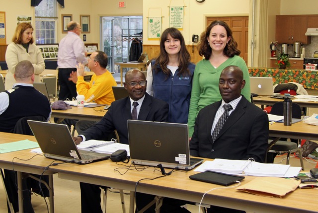
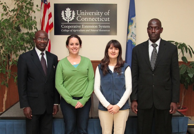
Dr. YA Umar and Dr. DB Maikaje from the Nigerian Defense Academy (it is similar to West Point) traveled to the UConn Extension office in Haddam last week. They took our Geospatial Training Program’s 3-day Geographic Information System (GIS) training course with Cary Chadwick and Emily Wilson. Dr. Umar and Dr. Maikaje are both epidemiologists in the Pathobiology department who are hoping to use what they learn to track/map the incidence of various diseases in Nigeria.
 Maikaje stated, “What we discovered was an atmosphere completely conducive to effective research. When people are open to sharing and willing to help each other, it makes for a rewarding academic environment. And that’s exactly what we found here. We are terribly impressed.”
Chet Arnold, director for outreach at CLEAR, notes that even though the request from Nigeria was unusual, in the past five years Chadwick and Wilson have trained more than 1,000 individuals in the use of GIS, GPS, online mapping, and other geospatial technologies at the Extension office in Haddam. In addition, they have been conducting courses in online mapping techniques for researchers and extension specialists in the Land Grant and Sea Grant university systems around the country, as part of a four-year grant funded by the USDA.